| HOME | OBLIQUE PHOTOS | VERTICAL PHOTOS | IMAGE ANALYSIS | REQUEST QUOTE | CONTACT US |
| Up-to-Date Vertical Photos | ||
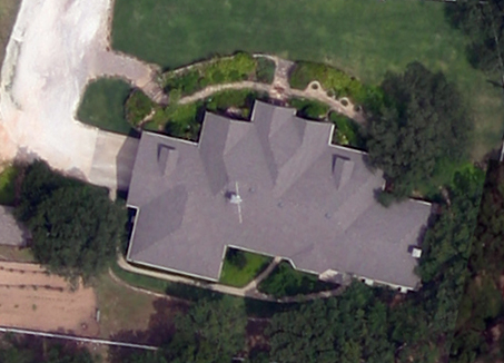
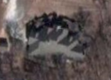
| See what is really there |  : Compare our image above with the best you can find on the Internet, below: : Compare our image above with the best you can find on the Internet, below:  |
|
If you use the Internet for a vertical image of your property, chances are it is out of date and not "crisp" enough. Mustang Aeronautical will create a true vertical image that reflects what is really there. Just compare what you can find on the Web with what we provide; the difference speaks volumes. Vertical images, or orthophotos, are excellent for accident reconstruction, survey, water use analysis and landscape planning. Our orthophotographs can be used in your GIS applications for professional surveying, land use metrics and more. Mustang Aeronautical will provide you with imagery that shows what is really there |
||
All rights reserved.