| HOME | OBLIQUE PHOTOS | VERTICAL PHOTOS | IMAGE ANALYSIS | REQUEST QUOTE | CONTACT US |
| Aerial Image Analysis | ||
| See more and learn more! |  |
|
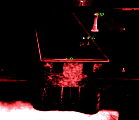
Custom image analysis can be performed to determine the integrity of your structure, heat or cooling loss, water use and more. Additionally, Mustang Aeronautical can train your teams in urban and rural aerial imagery interpretation for security and surveillance. People have used Mustang Aeronautical imagery for:
>>Remember to Request a Quote |
||
All rights reserved.